Release Notes – July 2023
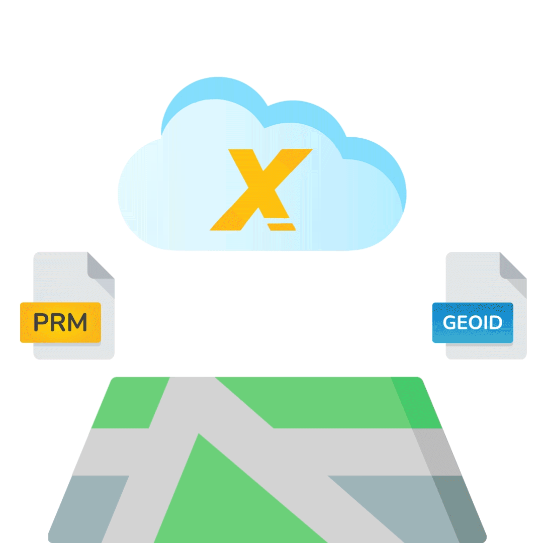
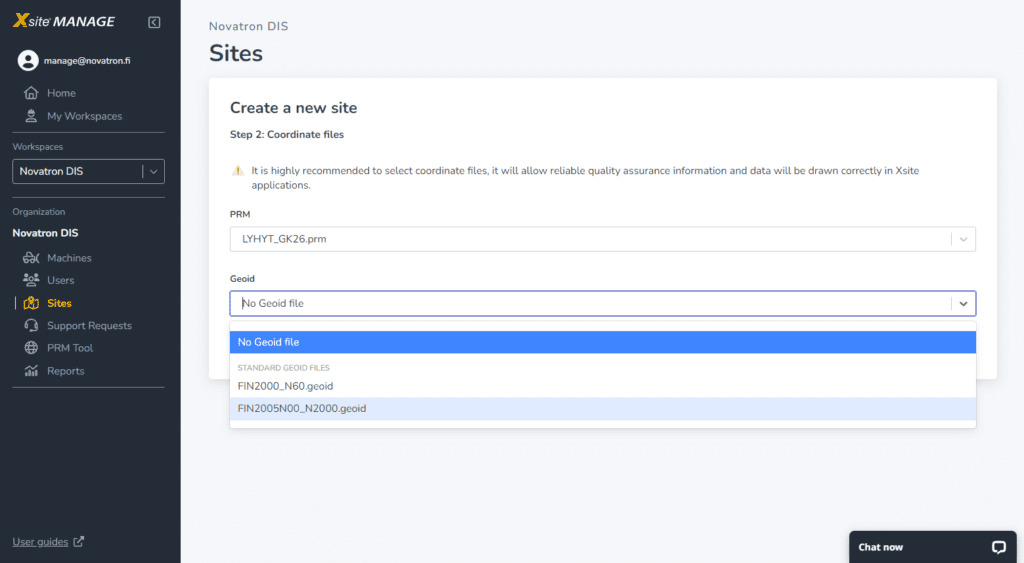
set coordinate system and geoid in the cloud project
The use of Xsite MANAGE in earthmoving- and civil construction sites continues to rise as the software becomes easier to use and more efficient in the industry.
Now the surveyor can easily set the coordinate systems into construction project and the coordinate reference systems will be synchronized in the connected machine control systems and surveying devices seamlessly!
We have enhanced the user experience of creating a new construction project in the cloud service. The goal is to make 3D VISUALIZATION accessible to everyone in the earthmoving industry!
Please let us know your own feedback on these updates as well as what you’d like to see us build next at manage@novatron.fi!
New features
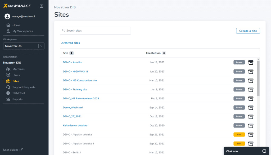
- Name the site and locate your site on the map
- Select published coordinate systems for your region
- Or use local transformation file for projects which doesn´t use any national coordinate systems
User interface improvements
We have made it even easier to read tables and sort columns in the Xsite® MANAGE. Our goal for the outstanding user experience is to have best experience in daily work. We have focused on three main things.
- Readability
- Clarity
- Usability
Explore our latest user interface improvements and enjoy your work!